This is another classic road ride in Colorado. It is the third highest paved road in the state. The access city to the this ride is Buena Vista, and it’s entrance sign reads “Now this is Colorado!” It is true, as some of the best whitewater boating is found here, as well as the Sawatch Mountain Range. In addition, there are multiple hot springs scattered throughout the area, to soak in after a Colorado adventure. The setting for the start of this ride is one of grandeur. The Sawatch Range extends from Vail to Salida and contains 15 peaks over 14,000 feet, (4267meters), in elevation. The Cottonwood Pass road winds Directly over this wall. The road is flanked by fourteeners, and is thick with aspen tree’s. The switchbacks are curved beautifully, and the straightaways are steep. Compared to a bunch of the other Passes that I have ridden in the state, this one has some of the steepest sections that I have found. Couple that with riding at 10,000’ to 12,000’, (3,000 - 3,600 meters) elevation, the climbing is demanding. It is about 19 miles, (31km) to the summit from Buena Vista, with most of the climbing coming in the last 8 miles, (12km). This Cottonwood Pass ride is a top-notch representation of pass-riding at it’s best. And I found out there was a nice bonus on the other side of the Pass, a smooth dirt descent into Taylor Park.
I have been on most roads in Colorado, so when I can summit not only a new Pass, but a road never traveled, it adds incredible excitement to the adventure. I was really looking forward to this one, and knew that it would be challenging, as they all are. I was not disappointed at all; in fact I was totally amazed. The switchbacks started at about mile 15, (24km) and the rest of the ride was just that, sweet switchbacks!
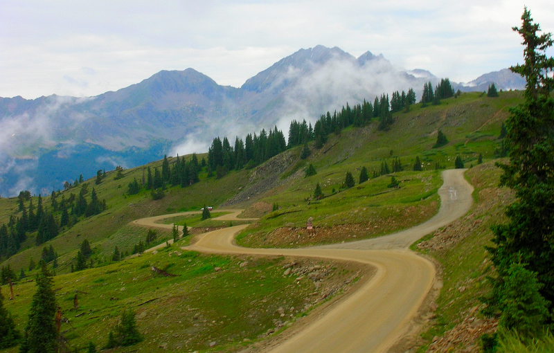
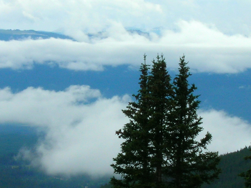
The final push was hard, but when you can see the summit ahead, adrenilene takes over. The usual welcoming committee of drivers who had passed me on the way up were, out of their cars and cheering me on to the top. It is always great to talk to people after working it hard on the wheel, they are always happy and amazed. The west side of the pass was masked in fog and a light mist was falling. The temperature was around 45 F, (7C), very refreshing for a few minutes to stop and enjoy the splendor of the Colorado High Country. From the summit, at least 8 fourteeners are visable, towering above the vibrant, lush, green valleys below. The recent rains in the high country have made the flowers, and tundra go off. I wanted to stay up high longer, so like a crazed climber, I rode down the west side about 5 miles, (8km). The west side is packed dirt, and when wet, was wonderful spinning and grinning:D Around 1,000’, (305meters) lower in elevation is where I turned around and headed back up to the summit.
Again reaching the summit I found more spectators with mouths open. I smiled, said a few prayers of thankfulness, and headed back down to B.V. The descent was awesome, l loved the switchbacks and the banked complexity of them. The temperature rose the lower I got, and for some reason the wind was behind me. It’s typical for the wind to blow up canyon during the heat of the day. About 2/3 of the way down, I heard a rock fall coming down on the opposite side of the road from me. I looked to see if I had to make a quick move, and there on the steep rocky hillside was a herd of Rocky Mountain Bighorn Sheep. I stopped and took some photos, and continued on my way, as they didnt seem to happy with me. I was astonished at how they could manuever on the steep, loose, rocky mountainside.
Cottonwood Pass is a must for climbers, challenging terrain with incredible views. Lots of wildlife for your viewing pleasure, and fresh streams close by to cool off in. I am grateful that I made it, and enjoyed most of it, some of the climbing hurt. I made it back to Aspen with minutes to spare before the skys opened up with a violent hail/thunder/rain storm. Peace.
Stats:
Total climbing 10,930’ 5,465’ up/down (3,332meters 1666 up/down)
Hours riding 5 hours
Distance 48 miles (77km)
Average Heart Rate 144 bpm
Average Temp. 50F (10C)
Summit Elevation 12,126’ (3696 meters)
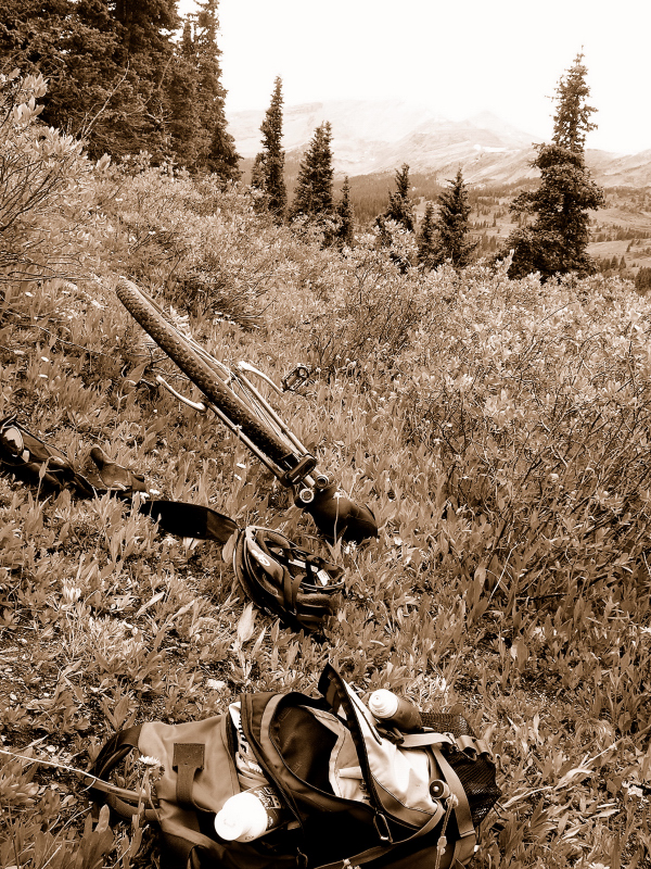
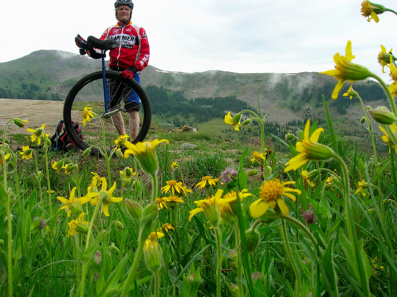
GB4 36er no brakes, 175 cranks
I am going to attach some photos, enjoy them! The first one is going down the west side on the dirt road.